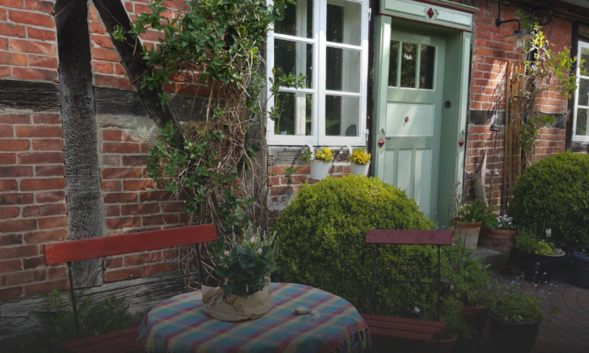
By car: Via the German motorway network, take the A39 towards Lüneburg, but then take the B216 exit towards Dannenberg/Bleckede rather than the city centre. Then it is about 12 kilometres straight on the B216 until you turn left to Radenbeck. In the village take the third road to the left (Ringstraße), keep left on the road Am Mausethal and after the S-bend you have reached house no. 3 on the right side.
Hamburger VerkehrsVerbund) is Radenbeck, Dorfstraße (approx 430m distance), the closest train stop (RB32 erixx) Bavendorf (approx 5⅓ km distance)
Here still in Geolink (geo:53.22247,10.62628) if a map/navigation program is installed on the device displaying this page. And here is a Link to OpenStreetMap, if not.
